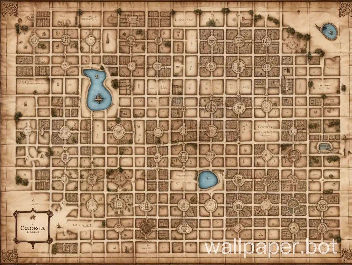
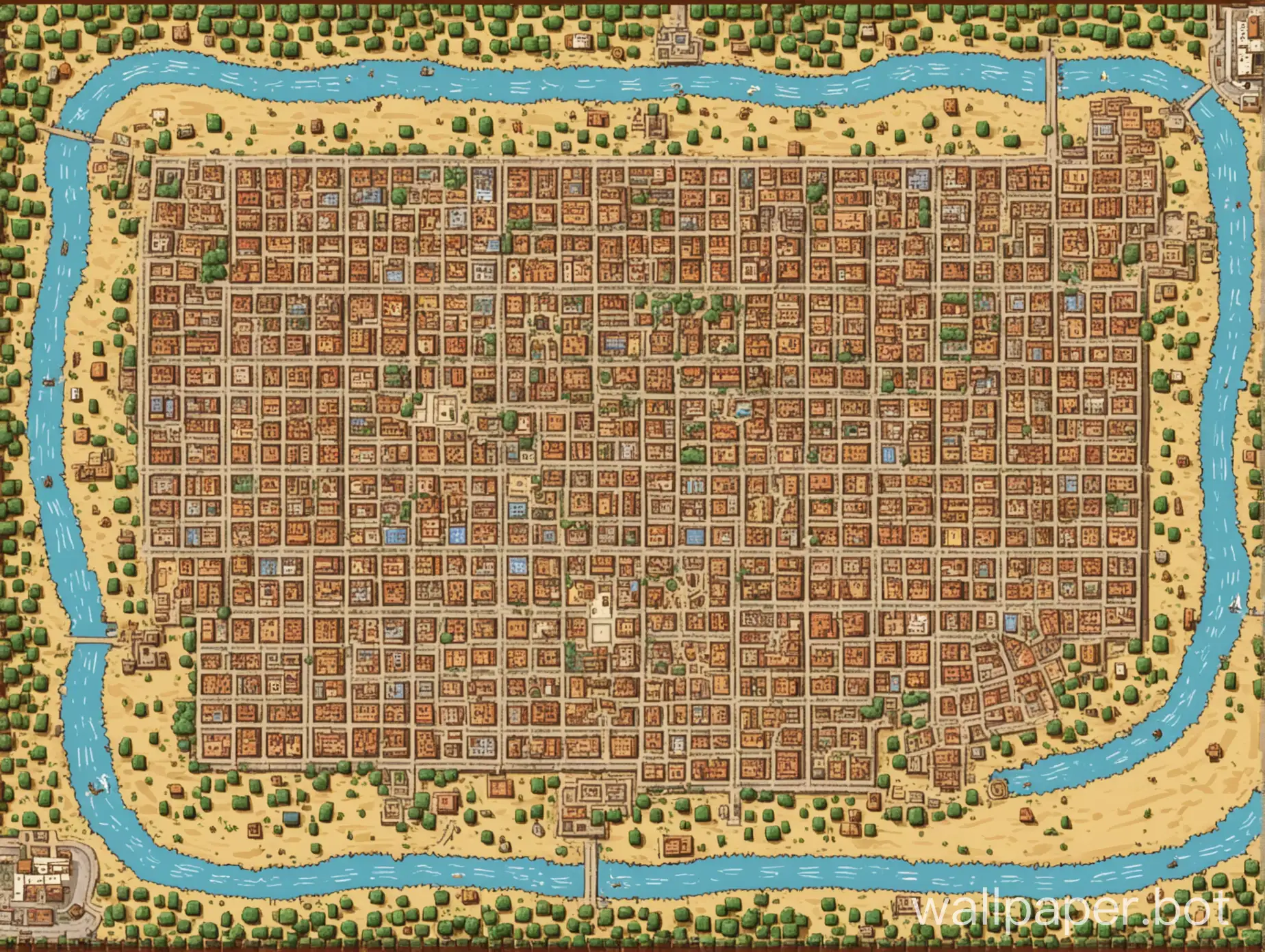
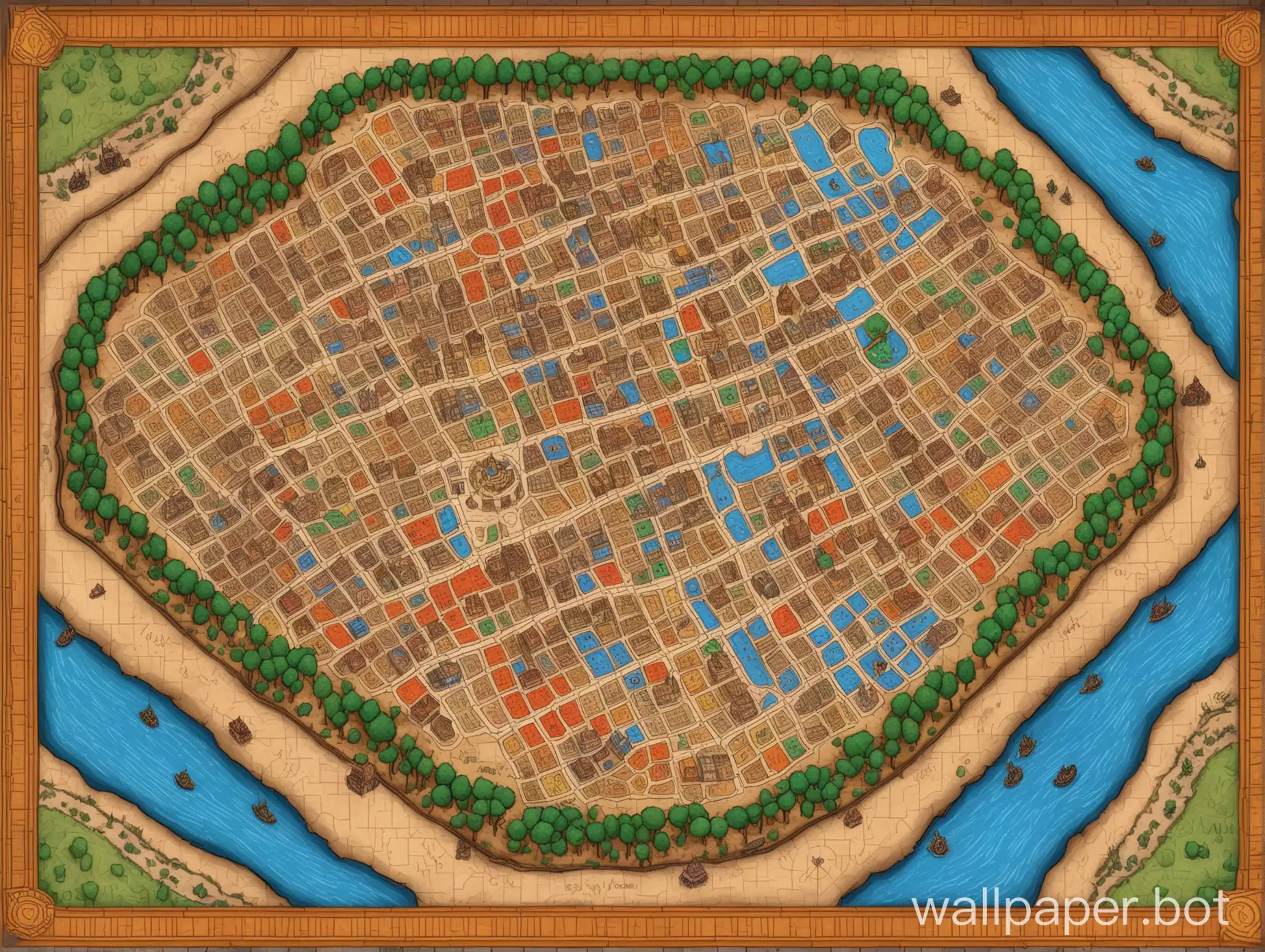
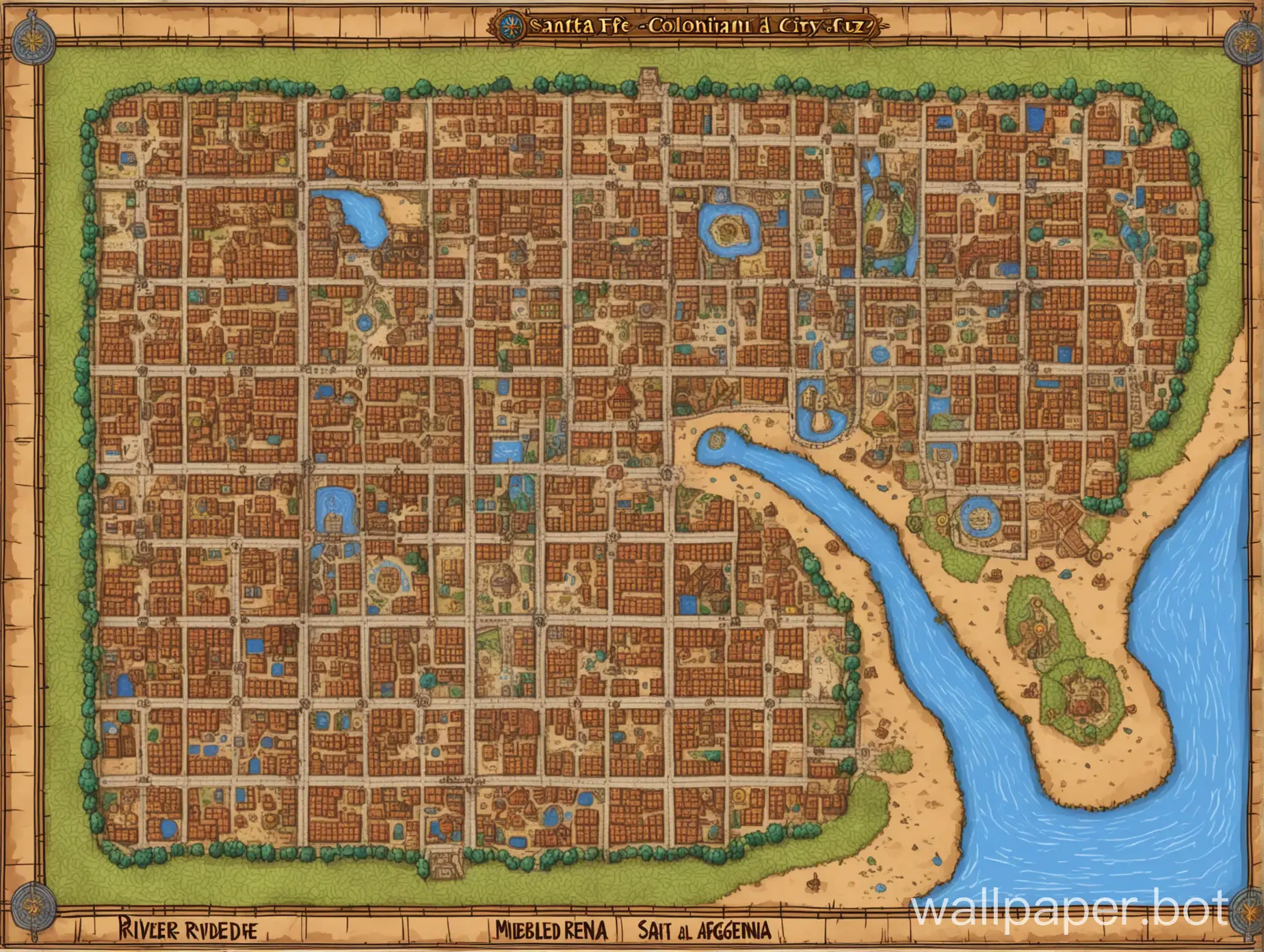
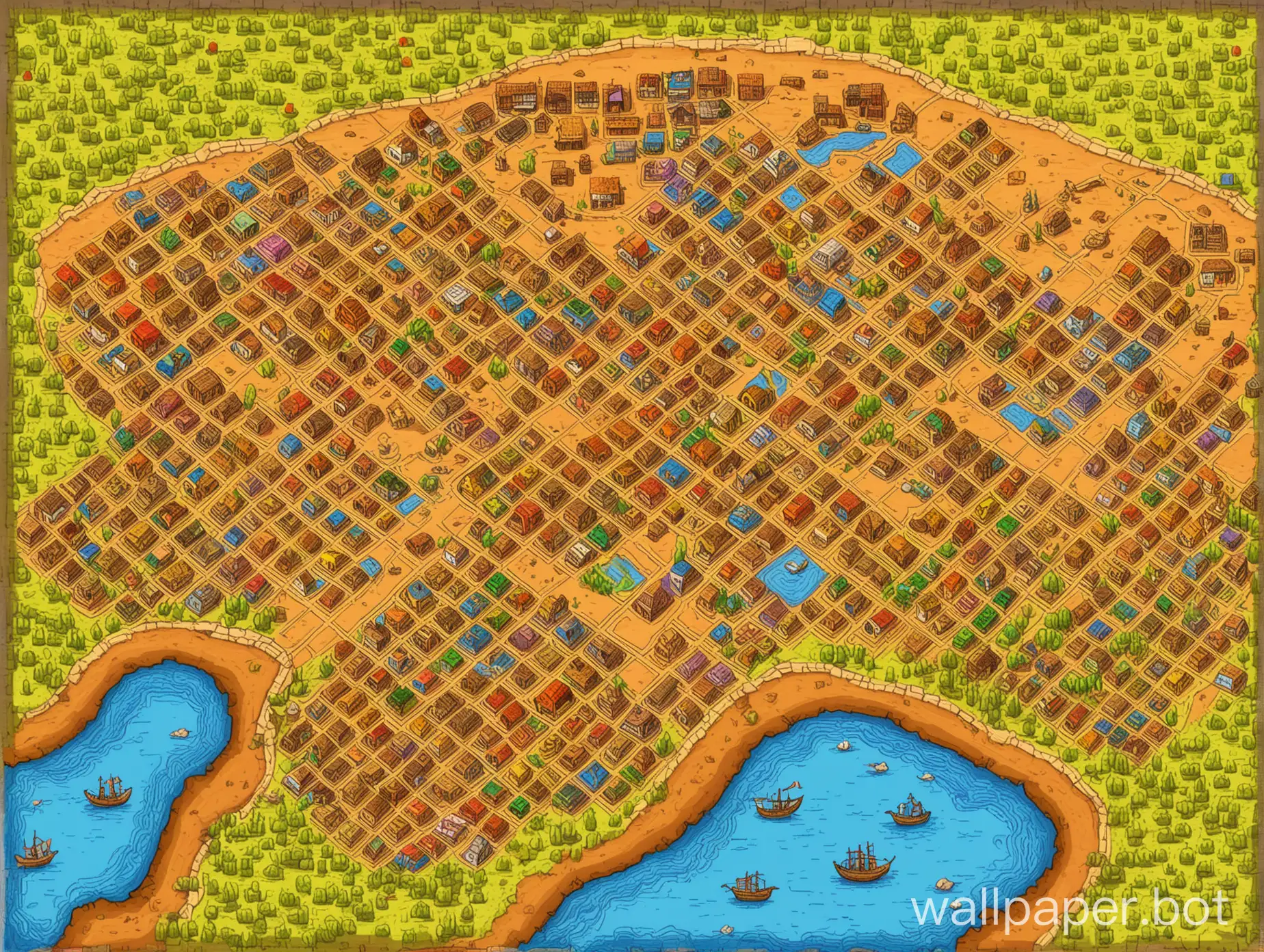
Colonial City Map in 1619 Santa Fe Argentina with Indigenous Population
AI Wallpaper Prompt
Prompt
2d top down videogame map of colonial city in 1619 santa fe argentina, 6 x 9 square street grid, indigenous population, riverside,
Model: anime
Ratio: 4:3
Related AI Images


Related Tags
AI Wallpaper Prompt Analysis
- Subject: Colonial City Map This image depicts a 2D top-down view of a colonial city set in Santa Fe, Argentina, circa 1619. The city layout follows a precise 6 x 9 square street grid, typical of colonial urban planning. The architecture and infrastructure reflect the historical context, emphasizing the influence of Spanish colonial design. Setting: Riverside The city is situated alongside a river, which plays a crucial role in its strategic and economic life. The riverside setting adds depth to the image, showcasing interactions between the city's inhabitants and the natural environment. Background: Indigenous Population The presence of the indigenous population is highlighted, offering a glimpse into their daily lives within the colonial city. Their dwellings and community spaces contrast with the European-style architecture, illustrating cultural diversity and historical dynamics. Style/Coloring: Historical Accuracy The image is rendered with a focus on historical accuracy, using colors and stylistic elements typical of the colonial era. This includes earth tones for buildings and vibrant greens and blues for the natural surroundings. Action/Items: Daily Activities Various daily activities such as market scenes, tradesmen, and religious ceremonies are depicted, providing a comprehensive view of urban life during that period. Costume/Appearance: Colonial Attire The inhabitants are dressed in period-appropriate colonial attire, reflecting their social status and cultural norms. Accessories: Architectural Details Architectural details such as churches, government buildings, and town squares are prominent, showcasing the city's administrative and religious centers.